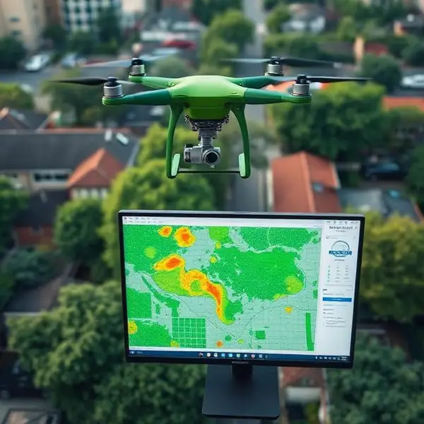
TreeCanopy AI combines drone imagery with computer vision to give students a bird's-eye view of urban tree canopy coverage. Students learn to operate survey drones, process aerial images, and use AI to quantify tree coverage, identify heat island zones, and model the cooling benefits of strategic tree planting. The curriculum connects to climate science, urban planning, and environmental justice—showing students how tree inequity correlates with socioeconomic factors.
EPA Grant Alignment
Disseminates environmental education about urban heat islands, climate resilience, and the role of green infrastructure in environmental justice.